t was built for people who had nowhere else to live. Now it has one of the best views in Busan.
Draw a horizontal line above Busan’s port area, somewhere between the flat land of the reclaimed waterfront and the steeper slopes of the mountains rising behind it. That imaginary line runs through what is actually a road — or rather, a series of connected roads — that trace the mid-slope of the hills above central Busan, winding through neighborhoods that were built by people who arrived with nothing and had nowhere else to go.
This is Sanbok Road: 산복도로, literally “mountain abdomen road,” named for where it sits on the geography of the hills. It does not appear in many international travel guides. It is not organized around a single attraction. It does not have a neat beginning and end. What it has is context — layers of it, accumulated across several decades of a city growing faster than any planned structure could contain.
How the Road Came to Be
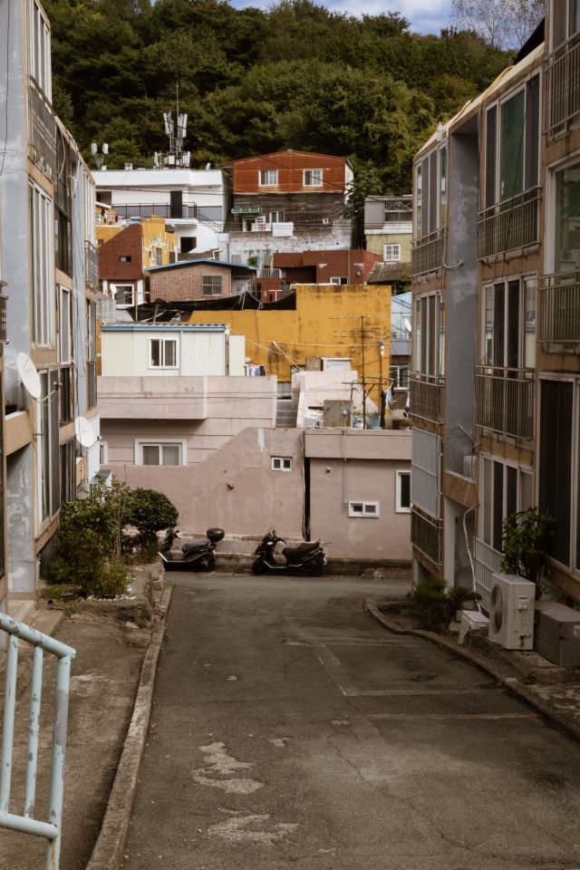
The story of Sanbok Road begins with the Korean War. When Busan became the last major city not under North Korean control in 1950 and 1951, the population swelled with refugees from across the peninsula. People needed somewhere to live, and the available flat land near the port filled quickly. What remained was the hillside — steep, difficult, without infrastructure, but available.
Refugees built on the slopes in the way that people build when the alternative is not building at all: with whatever materials could be found, in whatever configuration the terrain allowed. Corrugated metal, salvaged wood, stones for foundations. Houses arranged not according to any plan but according to the logic of the gradient — each built where the last had not yet been, climbing upward because upward was the direction in which space remained.
The road was built to serve these communities — to make the hillside neighborhoods accessible for basic services, supplies, and the movement of people between the slopes and the city below. It was functional infrastructure before it was anything else: a road for people who had no other road. As the postwar decades passed and the temporary settlements became permanent neighborhoods, the road became part of the permanent fabric of the city’s mid-slope communities.
The houses were rebuilt over time from metal and wood into brick, and from brick into concrete. The alleys were formalized. The communities acquired schools, small markets, community spaces. What had been emergency construction became settled life, and settled life accumulated the kind of texture — the particular arrangement of a neighborhood’s spaces, the specific quality of its light at particular hours, the relationship between buildings that develops only through unplanned growth — that planned developments do not produce.
What You Find on the Road
When you ride the bus routes that follow the Sanbok Road — or walk sections of it on foot, which is a slower and more immediate experience — the city resolves into something that its coastal and commercial areas do not show.
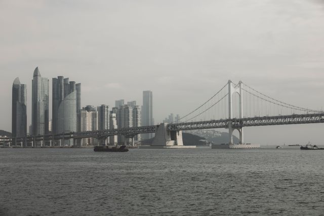
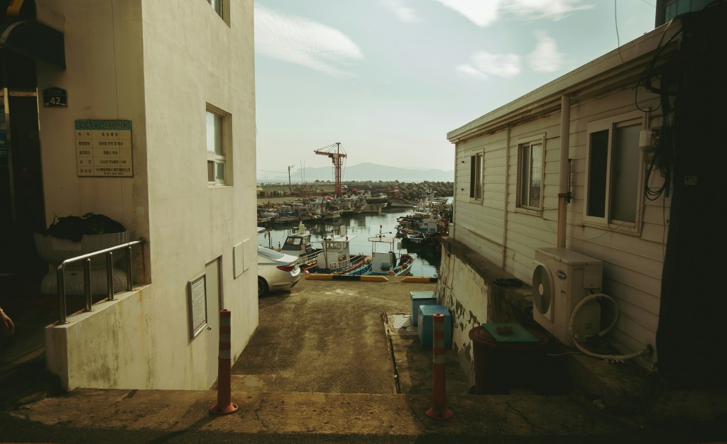
The view is the first thing. From the road, the harbor is visible below in a way that makes the relationship between the city and the water clear rather than incidental. The port infrastructure — the container terminals, the bridges, the industrial waterfront — is laid out in a comprehensible way. The older residential areas descend in stages toward the flat land. The mountains continue above. You are in the middle of the geography rather than at its edge.
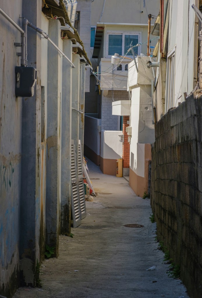
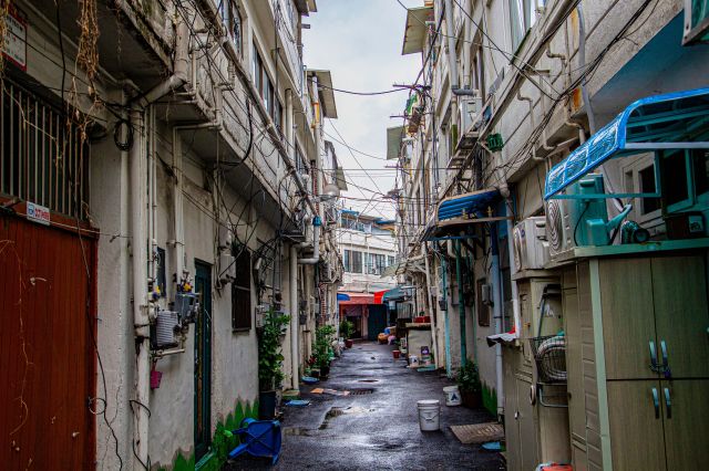
The neighborhoods that line the road have the character of communities that developed without consistent planning oversight: narrow alleys that branch off the main road and descend between tightly packed houses, small convenience stores and neighborhood restaurants that serve the people who live here rather than visitors passing through, walls with murals painted by community art projects that came and went. Some of the murals are good. Some are faded. The distinction matters less than the fact that the walls have been painted at all, which means people cared enough about the appearance of these alleys to do something about them.
The population along the road has aged as younger residents have moved to newer apartments in other parts of the city. The elderly residents who remain are the long-term inhabitants of communities that grew from wartime necessity into something with its own identity — people who have watched the city change below them for decades without the view from their windows ever disappearing.
The Circular Bus Route
One of the more useful pieces of local knowledge about Sanbok Road is the existence of bus routes specifically designed to follow it — circular routes that loop around the hillside neighborhoods and provide what amounts to a moving viewpoint tour of the mid-slope communities and their views over the city.
These routes exist primarily for the residents of the hillside neighborhoods, not for tourists. The buses run on schedules determined by the needs of people going to and from work, school, and the market. They do not narrate what you are seeing or stop at designated viewpoints. You simply sit on a bus as it follows a road that was built for people who had nowhere else to go, and the city is below you, and the view is as good as you will find anywhere in Busan.

A Different Kind of Busan
There is a version of Busan that is organized around the sea — the beaches, the harbor, the marine cable car, the view of the bridge at night. That version is real and significant and worth experiencing.
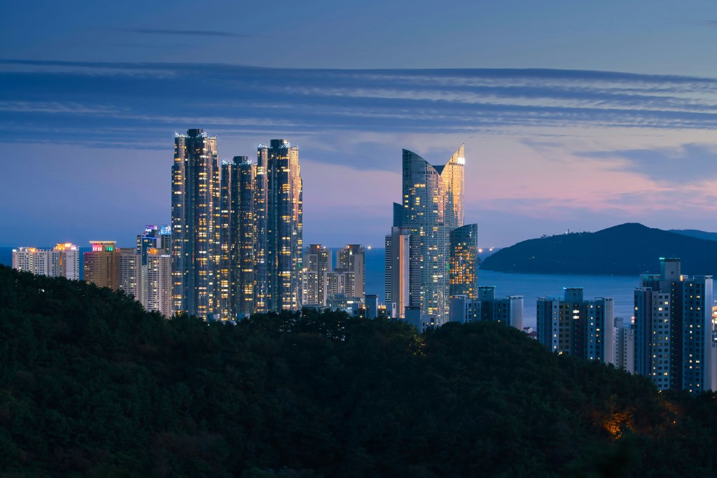
Sanbok Road represents a different axis: not the relationship between the city and the water, but the relationship between the city and the hills behind it. The road runs above the place where the city started, through communities that existed before Haeundae was developed, before the high-rise hotels arrived, before the city began marketing its coastal character to the world.
The people who built these neighborhoods on a steep hillside during and after a war did not think they were creating something interesting for later visitors to discover. They were solving an immediate problem. What they left behind is a different kind of interesting from what you plan and design: the specific texture of a community that grew because it had to, in the specific form that the terrain and the circumstances allowed.
The view over the port from mid-slope on a clear morning is one of the better views available in a city full of good views. Getting there requires going somewhere that does not appear on the standard route. That, in this context, is part of the point.